Palvico
not verifiedpermit unconfirmed 2026-08-19
Ungraded
Unknown flood risk
Storo, Trento
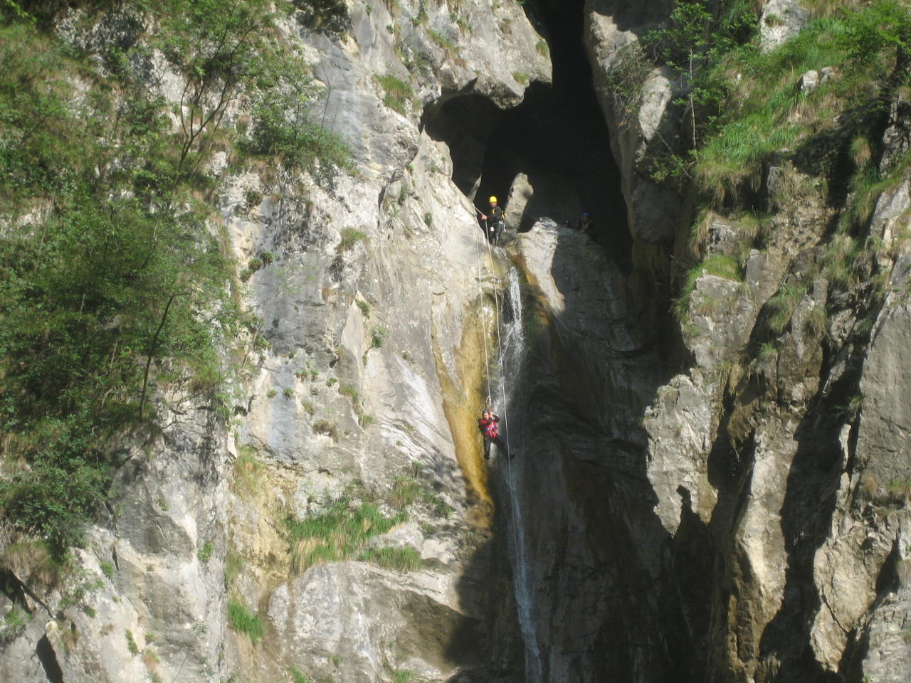
The numbered topo on RopeWiki (A1 through A5) shows the Palvico's seven rappels concentrated in two major drops, roughly 25 and 55 meters, with several shorter slides in between. Total length runs about 1.5 kilometers through 150 meters of limestone vertical, open Jun through Sep with an optional 3.7 kilometer shuttle.
The wiki's own topo table flags a siphon between the fourth and fifth rappels and marks several of the smaller drops as possible slides or jumps with a question mark, meaning even RopeWiki isn't fully sure. It says outright the table needs updating, so treat exact rappel heights as approximate and confirm current conditions before committing to the lower sequence.
Logistics
| Permit | RopeWiki's Red Tape section is empty and its infobox carries no Permits field, so access here is unverified rather than confirmed free. |
|---|---|
| Distance | 500m |
| Time | 2 hr |
| Technical | 7 rappels, longest 50m |
| Season | Jun-Sep |
| Coordinates | 45.8441, 10.5966 |